Online routes could put walkers at risk
The John Muir Trust and Mountaineering Scotland are warning people about the dangers of relying on technology to navigate on mountains.
Update 20/7/2021:
In response to the news article below, we are delighted to hear that Google Maps have updated the driving directions for Ben Nevis to direct people to the visitor centre car park in Glen Nevis, where visitors can find further information and directions to the summit.
Mountaineering Scotland and John Muir Trust have since met with representatives from Google Maps to highlight similar issues in other areas and are awaiting feedback from Google on potential solutions to provide users with more accurate and relevant information when they venture away from the roadside and into wild and mountainous places.
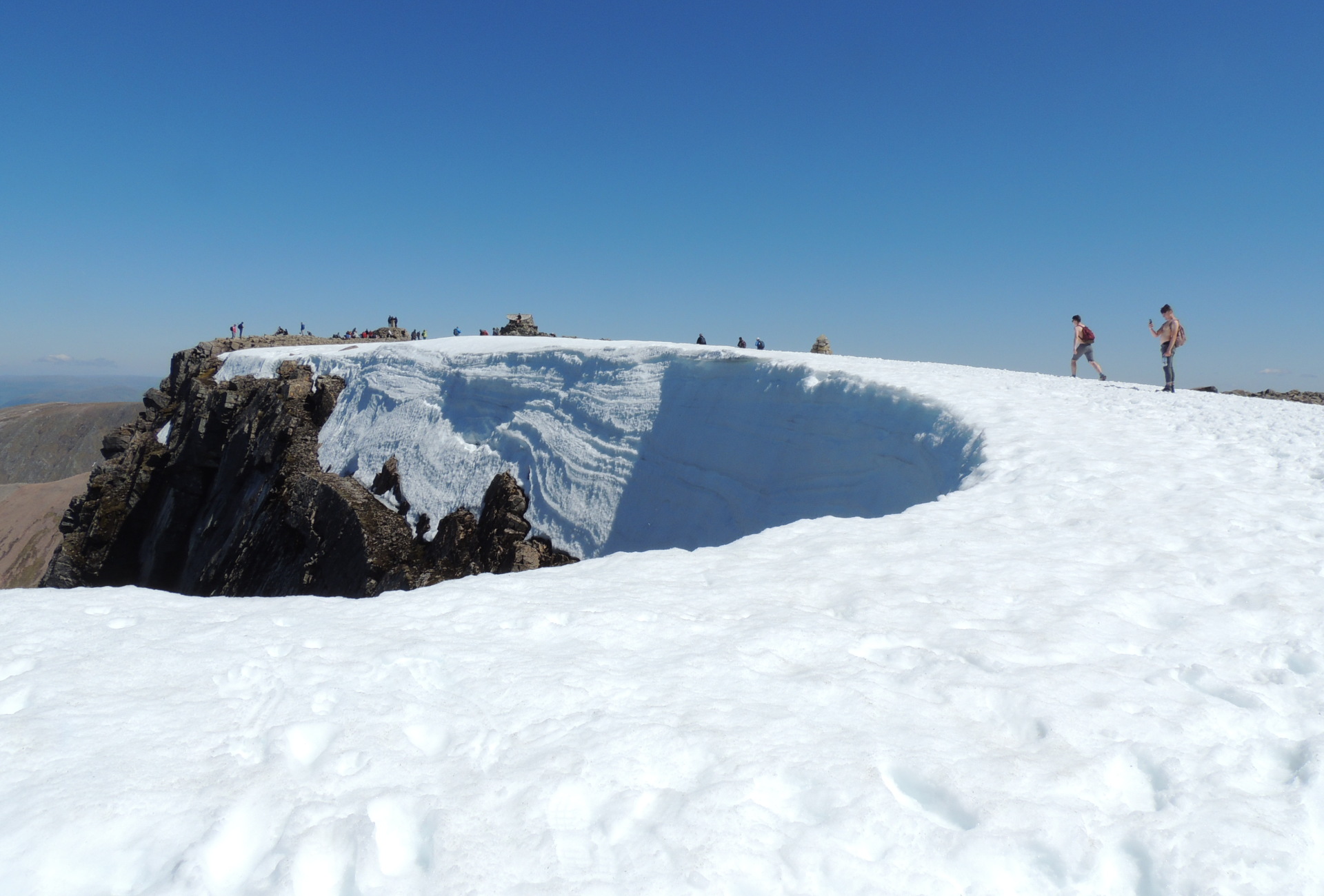
The John Muir Trust and Mountaineering Scotland have become concerned at an increasing number of visitors using mapping apps to direct them to a route up Ben Nevis.
Depending on how someone searches for the route, Google Maps currently directs people to the nearest car park to the summit as the crow flies, which is Steall Falls, but the fact remains that the route up Ben Nevis for walkers starts from the Visitor Centre. The Trust has put signage from the Steall Falls car park that directs people wishing to summit Ben Nevis back to the Visitor Centre, but this often overlooked.
Heather Morning, Mountaineering Scotland’s Mountain Safety Adviser, said: “For those new to hill walking, it would seem perfectly logical to check out Google Maps for information on how to get to your chosen mountain. But when you input Ben Nevis and click on the ‘car’ icon, up pops a map of your route, taking you to the car park at the head of Glen Nevis, followed by a dotted line appearing to show a route to the summit.”
Heather added: “Even the most experienced mountaineer would have difficulty following this route. The line goes through very steep, rocky, and pathless terrain where even in good visibility it would be challenging to find a safe line. Add in low cloud and rain and the suggested Google line is potentially fatal.”
Heather continued: “It’s all too easy these days to assume that information on the internet is all good stuff, correct, up to date and safe. Sadly, experience shows this is not the case and there have been a number of incidents recently where following routes downloaded off the internet have resulted in injury or worse.
“[On] Ben Nevis, many people are not aware of where to get reliable information and may quite naturally assume that Google Maps, which got them from their home to the foot of the mountain, can carry on and do the job right to the top. This is not the case.”
We would like to advise anyone thinking of walking Ben Nevis, or any other mountain or hill, to cross check information on a map, or consult a local guide.
Related News

20 Aug 2025
Future steps up for wild places

11 Aug 2025
Field Notes: Summer on the Ben